Conditions described here were accurate only as of the date shown and may have changed. This is not a substitute for current official information from the agency with jurisdiction; use it at your own risk and confirm with that agency before you act. See the full notice. Full notice.
Flash Flood Watch on Big Sur Burn Scars; County Says Stay Away
Heavy rain over the Timber and Plaskett burn areas could send debris flows across Highway 1 through early Thursday, and Monterey County is telling visitors to avoid Big Sur.
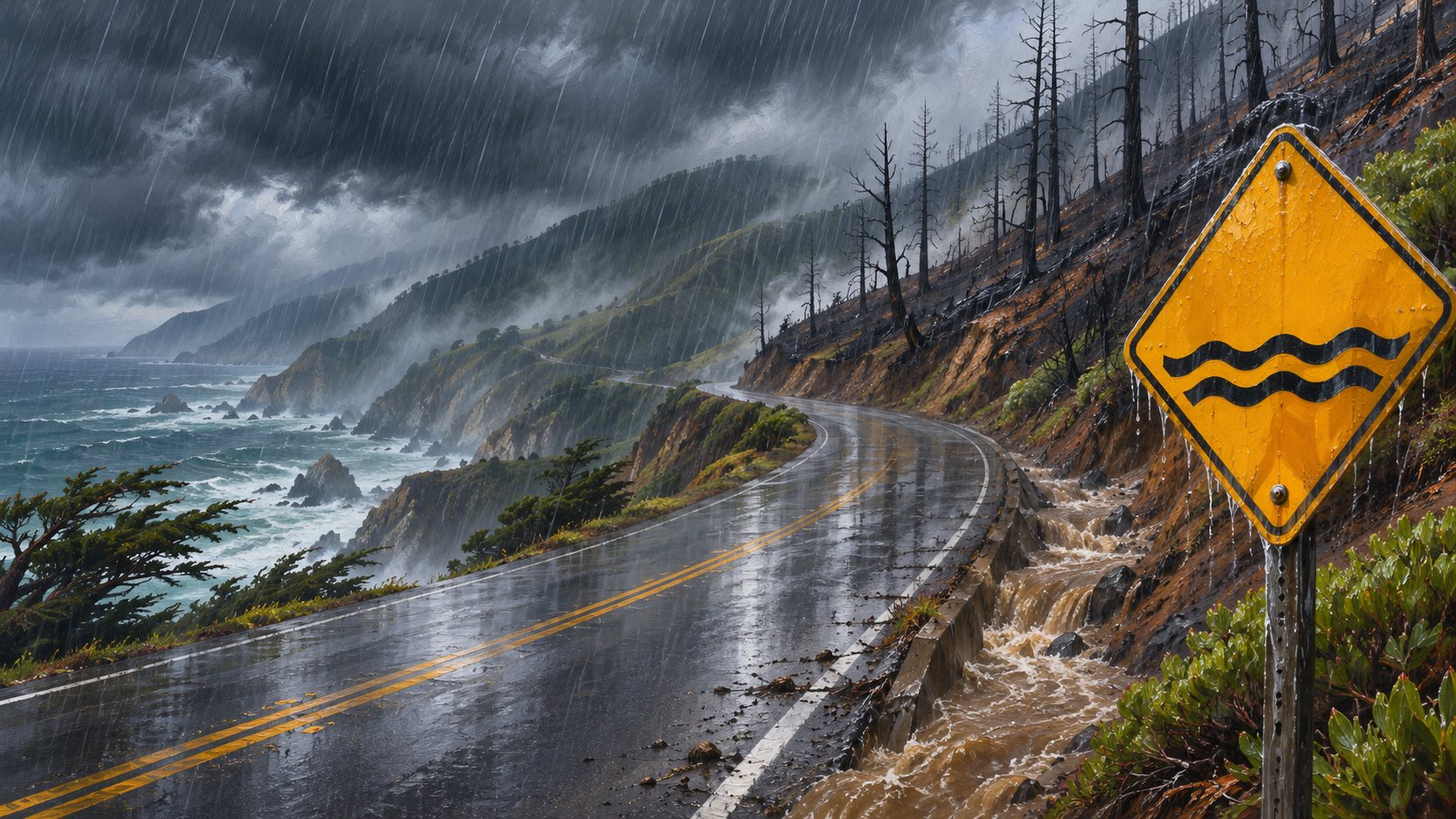
The National Weather Service in San Francisco has a flash flood watch over the Big Sur burn scars from the Timber and Plaskett fires, reissued at 4:46 a.m. Pacific on Wednesday and running until 4 a.m. Thursday. It warns that heavy rain could cause flash flooding in low areas, flooded roads and debris flows in and near the burn areas.
For the Timber scar, the watch covers parts of Highway 1 and Los Padres National Forest from Andrew Molera State Park to Partington Ridge, including the town of Big Sur, with debris flows possible in Lafler, Castro and Graves canyons and the drainages between Grimes and Castro canyons. For the Plaskett scar, it covers Highway 1 from mile marker 11 to mile marker 17 and Los Burros Road, with Alder, Plaskett and Prewitt creeks named. Big Sur, Plaskett and Pfeiffer Big Sur State Park are listed as places that could flood.
Monterey County said Tuesday that it is "highly likely" rain will pass the thresholds for debris flows and flash floods. It is asking visitors to avoid Big Sur, residents to stay off the roads once the storm starts, and people whose homes are at risk to consider leaving before it arrives. It told residents and businesses to stock up while the roads are open and to be ready to manage on their own for up to two weeks if slides close Highway 1. KSBW reported the highway was open as of Tuesday afternoon.
The NWS Bay Area office expects 2 to 4 inches of rain near Big Sur and 3 to 5 inches in the Santa Lucia Range, CBS San Francisco reported. Separately, Caltrans had scheduled daytime closures of Highway 1 near Torre Canyon Bridge on Wednesday and Thursday, weather permitting, to hang slope netting, according to a Caltrans notice reposted by the Big Sur Kate blog.
A Forest Service order restricting public access to the Monterey Ranger District of Los Padres National Forest, with some exceptions, runs through Jan. 31. Check Caltrans QuickMap and Alert Monterey County before driving south of Carmel.
Sources
- National Weather Service San Francisco, flash flood watch issued Nov. 18, 4:46 a.m. PST (via GovOneStop)
- KSBW, County warns travelers to avoid Big Sur as storm threatens flooding near burn scars (Nov. 17)
- King City Rustler, Monterey County warns of possible flooding, debris flows in Big Sur (Nov. 17)
- CBS San Francisco, Storm prompts wind alerts for parts of Bay Area, flash flood watch for burn areas (Nov. 17)
- Big Sur Kate, Flash Flood Watch for Big Sur (Nov. 17)
- Caltrans QuickMap