The Senate this week passed BAAJA, a large bipartisan permitting reform bill that CBS News says is designed to boost energy projects. Sen. Dan Sullivan of Alaska called it a historic package, and Utah Sen. Mike Lee and Gov. Spencer Cox backed it, the Deseret News reported. Outdoor Life says the bill will expedite development on public lands; Defenders of Wildlife called it deeply flawed and urged the House to stop it, and the Center for Western Priorities said Tribal concerns were not addressed. The Washington Times reports the House is likely to take up the Senate-passed bill without changes. Backcountry Hunters & Anglers has a summary of what it means for hunters and anglers.
Idaho Fish and Game says steelhead are coming to the Boise River on Tuesday, Nov. 24, when it stocks hatchery steelhead in the river. Before fishing, read the department's 2026 Boise River steelhead rules page.
openCalawah, Bogachiel, Naselle and Willapa riversClallam and Pacific Cos., WashingtonGame fish reopen Nov 23; Naselle and Willapa salmon open through Jan 31, one adult a daychecked Nov 20
The Washington Department of Fish and Wildlife will reopen parts of four coastal rivers on Monday, Nov. 23, after closing them this fall to protect returning coho salmon, according to two emergency rules posted Friday.
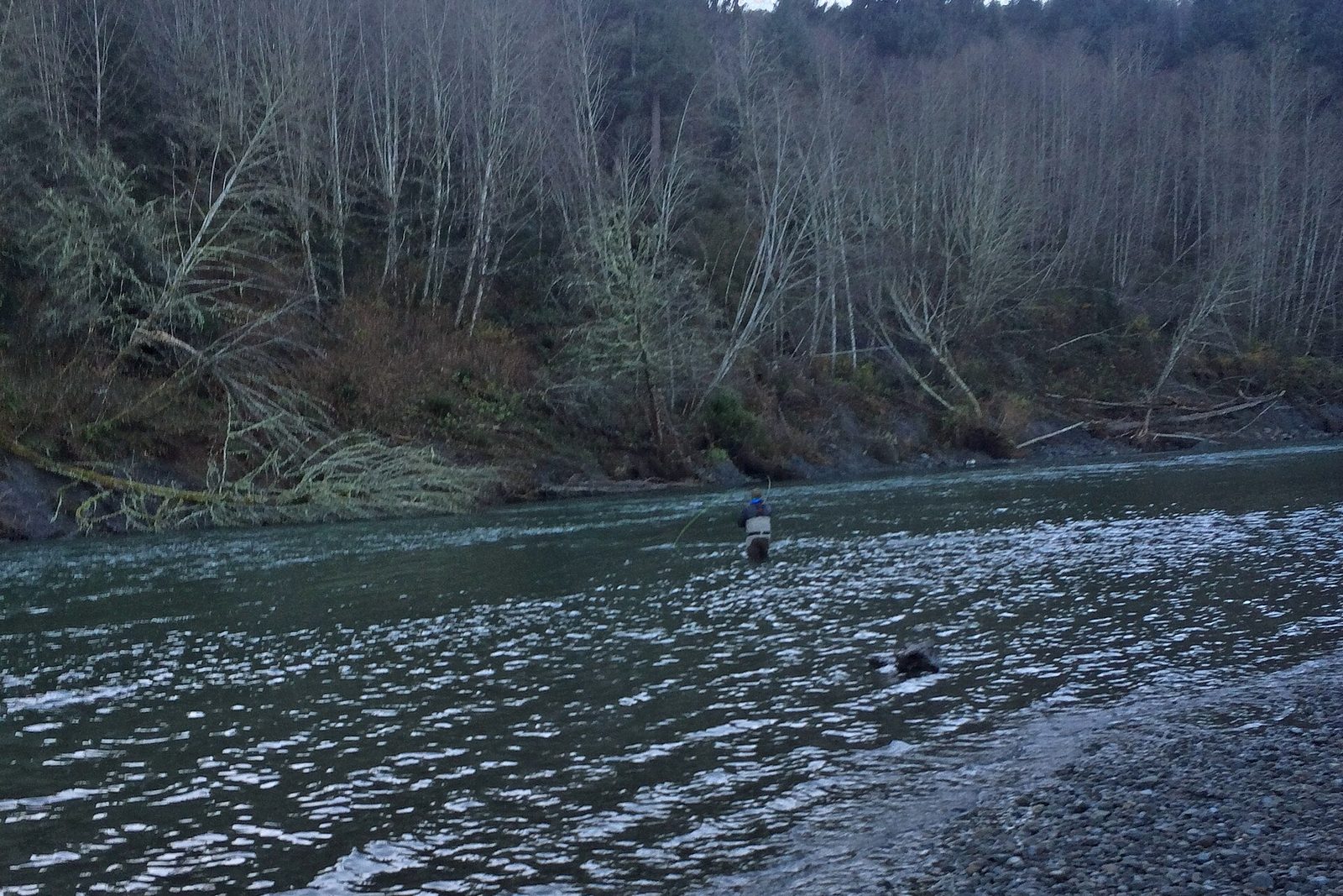
On the Olympic Peninsula, the Bogachiel River from its mouth to the confluence with Mill Creek, about three-quarters of a mile above the Bogachiel Hatchery, and the Calawah River from its mouth to the U.S. Highway 101 bridge reopen for game fish under the permanent rules in the Washington Sport Fishing Rules, until further notice. Salmon fishing stays closed. WDFW said the opening is aimed at hatchery steelhead: anglers may keep hatchery steelhead but must release all wild steelhead and all salmon. The rule also covers the upper Bogachiel and the upper Calawah, including its North and South forks, up to the Olympic National Park boundary; see the WDFW notice for those sections. Waters inside the park follow park rules.
noticeCWD detected in Unit 13Snake River, Unit 13, Idaho (near the Oregon border)Hunter-harvested mule deer buck; earlier detections in Units 1, 14, 15, 18 and 23checked Nov 19
A hunter-killed mule deer buck taken along the Snake River, about half a mile from Oregon, tested positive.
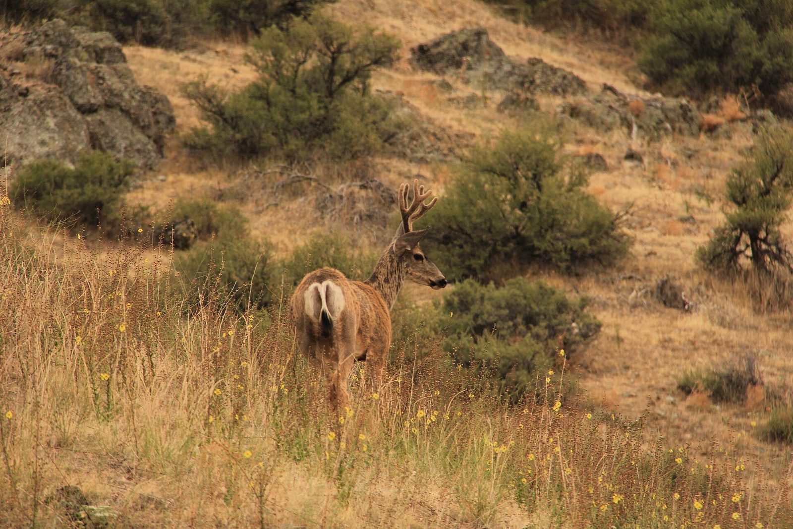
File photo: a mule deer buck in the Hells Canyon Wilderness, which straddles the Snake River on the Idaho-Oregon line, August 2013. Photo: Bureau of Land Management, public domain, via Wikimedia Commons
Idaho Fish and Game said Wednesday that a mule deer buck shot by a hunter along the Snake River in Unit 13 tested positive for chronic wasting disease, the first detection in that unit. The deer was taken about half a mile from the Oregon border and near an earlier detection in Unit 18.
Before this case, deer and elk had tested positive in Units 1, 14, 15, 18 and 23. The department has tested more than 3,500 deer and elk so far in 2026. The Unit 13 season has ended; Fish and Game and the Fish and Game Commission will weigh the new detection when they set the next year's CWD rules, which usually change each year.
noticeRazor clam digs, Copalis and Mocrocks beachesGrays Harbor Co., WashingtonNov 24 Mocrocks, Nov 25–26 Copalis, Nov 27–28 Mocrocks; evening tides, digging noon to midnight; 15 clams a day. Long Beach, Twin Harbors and Kalaloch closedchecked Nov 18
Copalis and Mocrocks open on alternating evening tides Nov. 24 to 28; Long Beach and Twin Harbors stay closed for marine toxin.
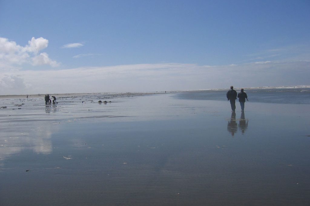
File photo: razor clam diggers on the beach at Ocean Shores, Washington, part of the Copalis digging area, May 2007. Photo: Emily Diehl, CC BY-SA 3.0, via Wikimedia Commons
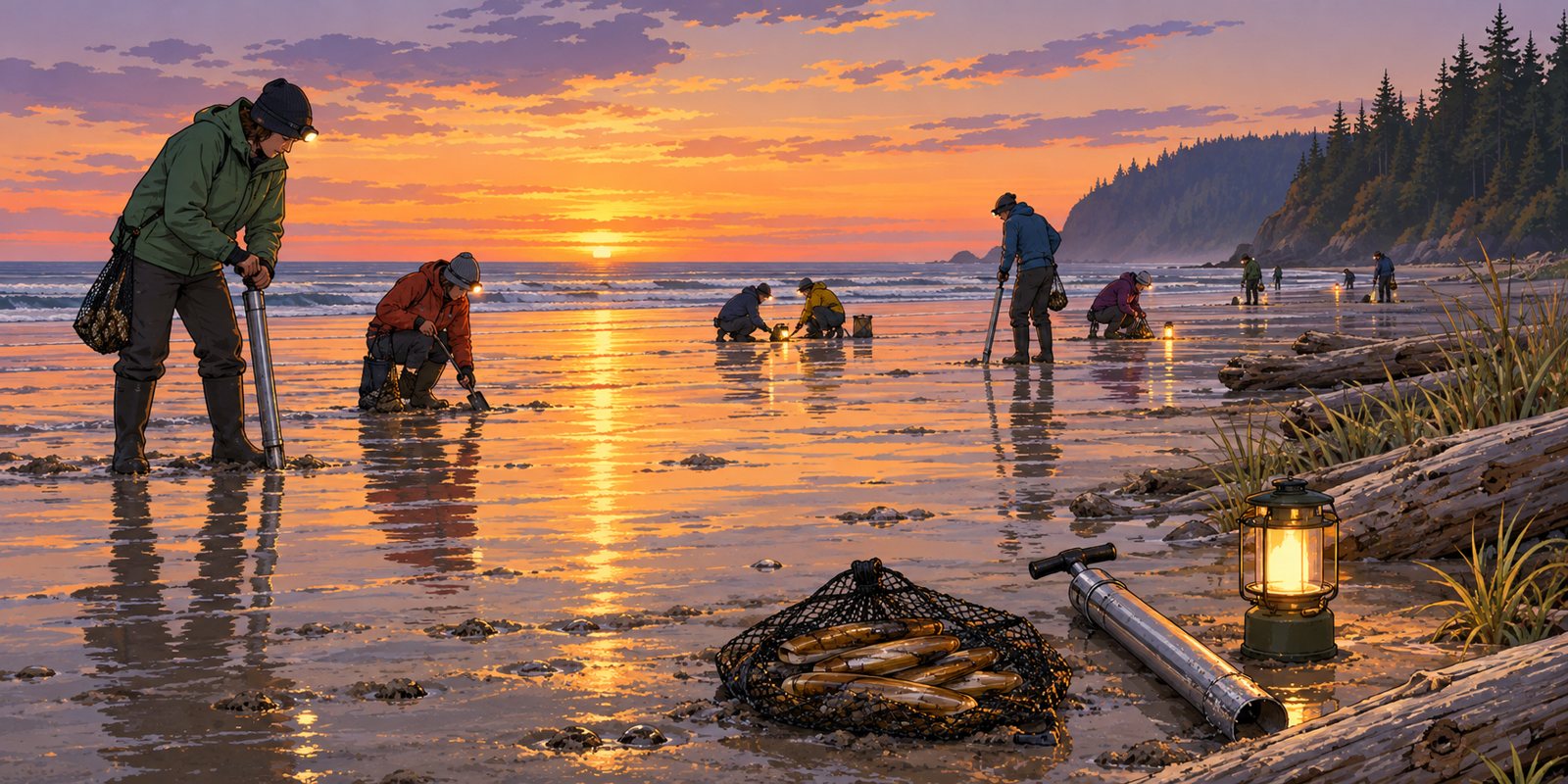
The Washington Department of Fish and Wildlife approved five days of razor clam digging on Tuesday, all on evening low tides: Mocrocks on Tuesday, Nov. 24 (6:02 p.m., -1.7 feet); Copalis on Wednesday, Nov. 25 (6:48 p.m., -1.9 feet) and Thanksgiving Day, Nov. 26 (7:35 p.m., -1.8 feet); and Mocrocks again on Friday, Nov. 27 (8:25 p.m., -1.4 feet) and Saturday, Nov. 28 (9:18 p.m., -0.8 feet). Digging is allowed only between noon and midnight.
"This upcoming tide series features some of the best tides of the fall season with Thanksgiving right in the middle," said Bryce Blumenthal, the department's coastal shellfish biologist. He also warned that the clam population on both beaches "isn't what it had been in previous years," so diggers may need to move around to fill a limit. The department expects fewer digging days this season.
closedMountain Loop Highway, Bedal Campground to Barlow PassSnohomish Co., WashingtonClosed to motor vehicles for the winter from Mon, Nov 16; open to hiking, snowshoeing and skiingchecked Nov 17
The Mt. Baker-Snoqualmie National Forest's seasonal closure of the Mountain Loop Highway between Bedal Campground and Barlow Pass took effect Monday, Nov. 16, as scheduled. The road is closed to motor vehicles for the winter but stays open to people on foot, snowshoes and skis.
closedWonderland Trail, Carbon River Suspension Bridge to Frozen Lake; Northern Loop, Berkeley Park to the Carbon River; Grand Park area; Sunrise trails north of Sourdough RidgeMount Rainier National Park, WashingtonUntil further notice; Garda Falls Fire about 308 acres (Nov 16); Carbon River and Ipsut Creek camps openchecked Nov 17
Mount Rainier National Park said Nov. 16 that the Garda Falls Fire has grown to about 308 acres, roughly double its size on Oct. 19, helped by dry air and warm temperatures, and could still spread into the West Fork drainage. The Wonderland Trail stays closed from the Carbon River Suspension Bridge to Frozen Lake near Sunrise, with the Northern Loop from Berkeley Park to the Carbon River, the Grand Park area including the Huckleberry Creek Trail, and Sunrise trails north of Sourdough Ridge, all until further notice. Carbon River Camp, Ipsut Creek Camp and the Carbon River crossings remain open, and no full Wonderland circuit permits are being issued.
Olympic National Park is asking the public to review preliminary designs for a new visitor center at Hurricane Ridge, the park said Monday. The comment period runs from Nov. 16 through Dec. 16.
The plans include restrooms, visitor information and exhibit space, concession operations, and indoor and outdoor space for year-round use, including park programs and stargazing. The park says the building would also support emergency response and winter recreation on the ridge.
advisoryBig Piney Project comments (temporary roads)Warm Springs Ranger District, Bath Co., VirginiaComment deadline 11:59 p.m. ET Nov 30, per BlueRibbon Coalition; plan would close 8.3 mi of temporary road after usechecked Nov 14
BlueRibbon Coalition backs a Virginia thinning and burn project but wants its temporary roads kept as low-level system roads; comments are due Nov. 30, the group says.
The BlueRibbon Coalition, a motorized-access group, is asking the George Washington National Forest to keep the temporary roads planned for its Big Piney Project in Bath County, Virginia, rather than close them once logging and burning are done. The group posted its comments on Nov. 13 and says the comment deadline is 11:59 p.m. Eastern on Nov. 30.
Big Piney is an integrated vegetation project on the Warm Springs Ranger District, in the Muddy Run and Jordans Run area. According to the January 2026 draft environmental assessment as summarized by the coalition, it covers 14,904 acres and includes 675 acres of regeneration harvest, 1,544 acres of thinning, prescribed burns across 7,161 acres, 23 wildlife openings and 8.3 miles of temporary road, 6 miles of it existing and 2.3 miles new.
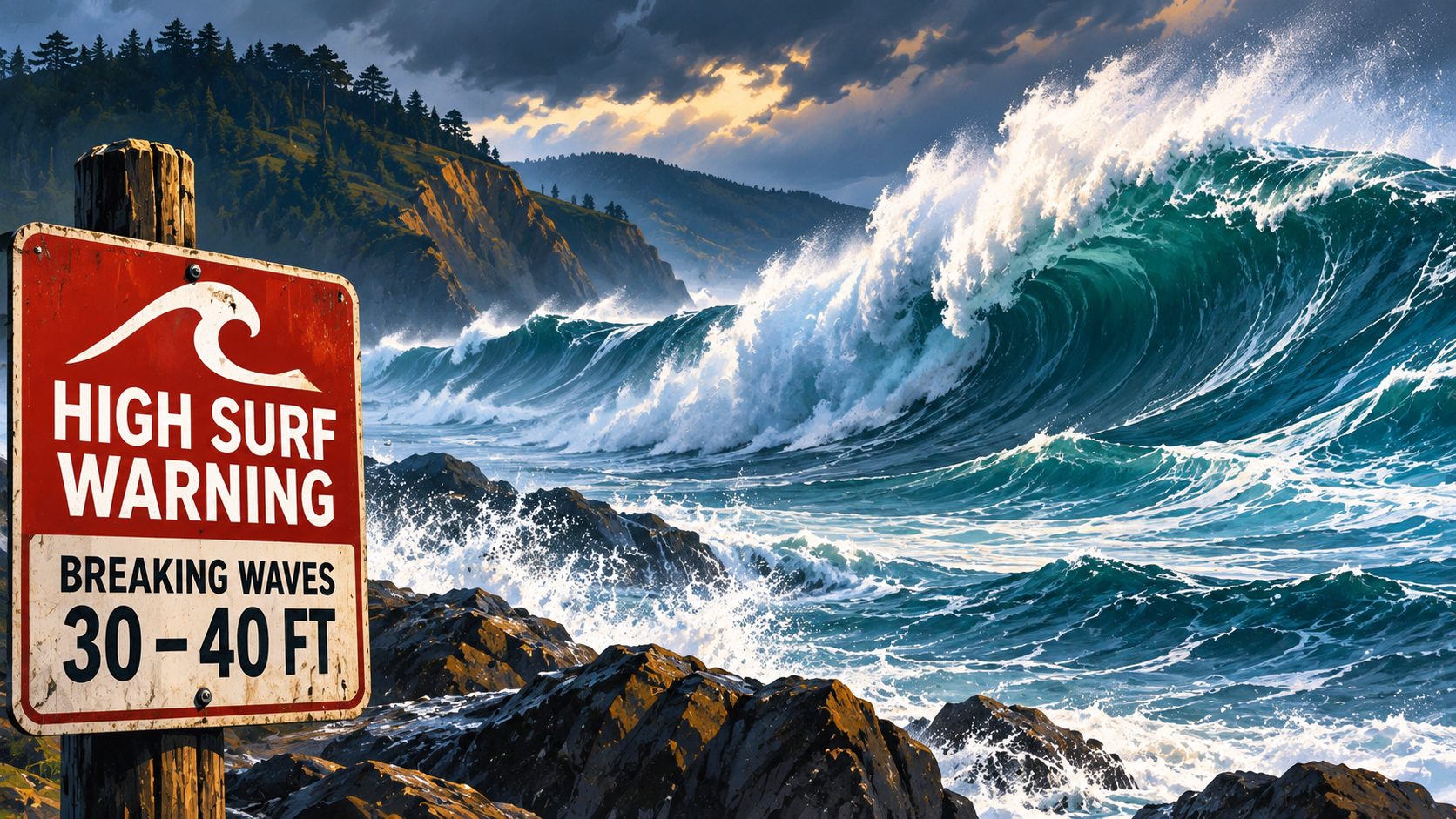
advisoryHigh Surf Warnings, breaking waves to 30–40 ft, sets to 50 ft at favored breaksCurry Co., Oregon · Del Norte to San Luis Obispo and Santa Barbara Co., CaliforniaSF Bay Area 25–35 ft, sets 40–50 ft, until 4 a.m. Sun; Del Norte, Humboldt, Mendocino 30–40 ft until 4 a.m. Sun; Curry Co. easing from 30–35 ft Sat; Ventura to 15 ft Satchecked Nov 14
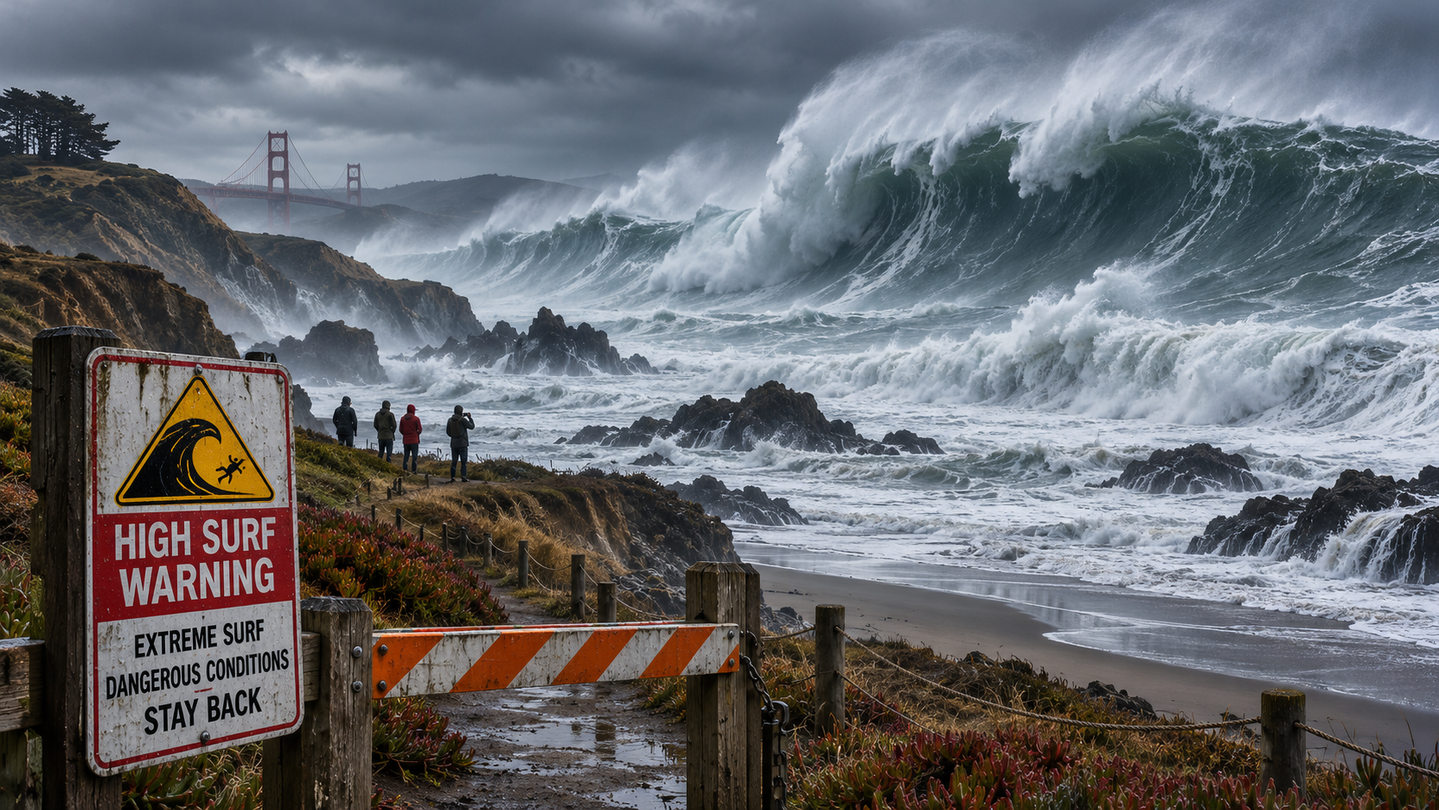
The National Weather Service's San Francisco office on Saturday was forecasting dangerously large breaking waves of 25 to 35 feet along the San Francisco, North Bay and Peninsula coasts, with occasional sets of 40 to 50 feet at favored breaks. Its High Surf Warning runs until 4 a.m. Sunday, and a Coastal Flood Advisory covers low-lying areas near the shore through Saturday evening.
Farther north, the Eureka office's warnings for breaking waves of 30 to 40 feet on the Del Norte, Humboldt and Mendocino coasts also run until 4 a.m. Sunday. In southern Oregon, the Medford office said waves of 30 to 35 feet Saturday morning on the Curry County and south-central coast would ease to 20 to 25 feet by evening and 15 to 20 feet overnight into Sunday. Warnings for Oregon's north and central coast and the Washington coast run until noon Saturday, followed by a High Surf Advisory for the north Oregon and south Washington coasts into early Monday.
advisoryHigh Surf Warnings, breaking waves to 30–40 ftClatsop to Curry Co., Oregon · Del Norte to San Luis Obispo and Santa Barbara Co., CaliforniaDel Norte, SW Humboldt, Mendocino 30–40 ft until 4 a.m. Sun; Oregon 30–35 ft (north coast until noon Sat, south until 10 p.m. Sat); SLO and Santa Barbara 18 ft+ until 3 a.m. Sunchecked Nov 13
The National Weather Service on Friday raised its surf forecast for the far Northern California coast and widened its High Surf Warnings, as the swell first forecast earlier this week arrives. Breaking waves of 30 to 40 feet are now expected on the Del Norte coast and on the southwestern Humboldt and Mendocino coasts, up from 25 to 35 feet in Wednesday's warnings. Northern coastal Humboldt is forecast at 30 to 35 feet. The Eureka office's warnings run until 4 a.m. Sunday.
In Oregon, the Medford office expects breakers of 20 to 25 feet Friday to peak at 30 to 35 feet from late Friday afternoon through Saturday morning on the Curry County and south-central coast, with the warning in effect until 10 p.m. Saturday. The Portland office has added High Surf Warnings for the Clatsop, Tillamook and central Oregon coasts, with breakers up to 30 to 35 feet until noon Saturday and coastal flood advisories for tidal overflow. A High Surf Advisory covers the south Washington coast.
advisoryHigh Surf Warnings, breaking waves 25 to 35 ftCurry, Coos, Douglas, Del Norte, Humboldt, Mendocino, San Francisco and Monterey Co. · OR · CAOregon 10 a.m. Fri to 10 p.m. Sat; Del Norte and Humboldt 1 p.m. Fri to 4 a.m. Sun; San Francisco and Big Sur 6 p.m. Fri to 4 a.m. Sun (PST)checked Nov 11
The National Weather Service has issued High Surf Warnings for much of the Oregon and Northern California coast for a swell arriving Friday, November 13. Forecasters expect dangerously large breaking waves of 25 to 35 feet, bigger than the swell that brought waves to 14 feet to California's Central Coast earlier this week.
In southern Oregon, the Medford office's warning covers the beaches of Curry, Coos and Douglas counties, including Charleston, Port Orford, Gold Beach and Brookings, from 10 a.m. Friday to 10 p.m. Saturday. Breakers of 20 to 25 feet Friday are expected to build to 30 to 35 feet late Friday through Saturday, then ease to 24 to 27 feet late Saturday afternoon. The office expects waves to surge into normally dry areas, with infrastructure damage and significant beach erosion, and says conditions are likely to stay hazardous through Sunday and possibly Monday.
The Washington Department of Fish and Wildlife is stocking more than 82,000 jumbo rainbow trout, up to 17 inches and three pounds, in 30 lakes and ponds before Thanksgiving, November 27, for its annual Black Friday fishing. The list includes Battle Ground Lake and Klineline Pond in Clark County, Green Lake, Beaver Lake, Lake Alice and Lake Desire in King County, American and Tanwax lakes in Pierce County, five Snohomish County lakes, Hog Canyon Lake near Spokane and four Thurston County lakes. Anglers 16 and older need a current freshwater license, valid through March 31, 2027. In all, the agency says it is stocking more than 237,000 trout in 70 lakes this fall.
advisoryMountain Loop Highway, Bedal Campground to Barlow PassSnohomish Co., WashingtonCloses to motor vehicles for the winter Mon, Nov 16; open to hiking, snowshoeing and skiingchecked Nov 10
The Mt. Baker-Snoqualmie National Forest will close the Mountain Loop Highway to motor vehicles from Bedal Campground south to Barlow Pass for the winter on Monday, November 16. The Forest Service says the yearly closure, coordinated with Snohomish County Public Works and the sheriff's office, protects drivers in winter weather and keeps the gravel road from breaking down when wet. The stretch stays open to hikers, snowshoers and cross-country skiers, and the county and Forest Service do any needed repairs each spring before it reopens.
The National Weather Service office in Seattle has a High Surf Advisory for the Northern Washington Coast and Grays Harbor County Coast zones from 10 a.m. Tuesday, November 10, to 10 a.m. PST Wednesday, November 11, for large breaking waves along the coast.
A Coastal Flood Advisory runs at the same time from 10 a.m. to 3 p.m. Tuesday. The weather service expects minor tidal flooding around high tide, with 1.5 to 2 feet of water above ground level possible along shorelines and low-lying areas, which may flood parking lots, parks and roads, with only isolated road closures.
Access Fund has bought the parcel holding the only practical parking area and trail to Phun Rock, a crag of more than 160 routes on Okanogan-Wenatchee National Forest land in Washington's Methow Valley, the group announced November 9. The land belonged to Outward Bound, which is closing its Mazama campus; Access Fund says it intends to transfer the parking area to the Forest Service for long-term ownership.
Overland Expo has posted its 2027 schedule, and the season starts in Costa Mesa, California, on March 13-14 with Overland Expo SoCal at the OC Fair & Event Center. Overland Expo West, the biggest in the series, returns to Fort Tuthill County Park in Flagstaff, Arizona, May 14-16, and Overland Expo PNW follows in Redmond, Oregon, June 25-27.
Overland Expo Mountain West moves to Riverdale Regional Park in Brighton, Colorado, for August 20-22; it was in Loveland in 2026. Overland Expo East closes the season at Oak Ridge Estate in Arrington, Virginia, October 22-24. In its 2026 review, Overland Expo said West drew 28,500 people and 420 exhibitors, and SoCal 19,000.
Washington Fish and Wildlife is taking public comments on two proposed fishing rule changes, the department said November 4. On Rufus Woods Lake, anglers could keep only adipose-clipped (hatchery) trout, to protect native redband trout and match the Colville Tribes' rules; the department said all net-pen and stocked fish there are clipped, so it doesn't expect fewer fishing opportunities. On Lake Roosevelt, the daily kokanee limit would drop from six to two, since no clipped hatchery kokanee have been released there in a decade. Comments can be submitted through the department's rulemaking page.
Washington Fish and Wildlife will hold a virtual public meeting on November 18 about raising the penalty for not returning Puget Sound Dungeness crab catch record cards, now $10, the department said November 4. Only 43 percent of summer crab card holders reported their catch in 2024 and 2025, and returns have declined since the 2013-14 season, making it harder to measure the harvest and meet tribal sharing obligations. If you crabbed this year, report your catch by the card's deadline, online or by mail, even if you caught nothing.
openRazor clam digs: Copalis and Mocrocks only, Nov 7–11 (evening low tides)Washington coastLong Beach and Twin Harbors stay closed for marine toxinschecked Nov 3
Washington Fish and Wildlife approved five days of razor clam digging on Copalis and Mocrocks beaches only, on evening low tides from November 7 to 11, the department said November 3: Nov. 7, 5:06 p.m., Mocrocks; Nov. 8, 5:44 p.m., Copalis; Nov. 9, 6:19 p.m., Copalis; Nov. 10, 6:54 p.m., Mocrocks; and Nov. 11 (Veterans Day), 7:29 p.m., Mocrocks. Digging is best one to two hours before low tide, and only from noon to midnight. Long Beach and Twin Harbors stay closed because marine toxin levels remain above the safe limit.
The department warned that a bigger swell and less extreme low tides will make digging harder than the first round, and that its summer survey found fewer clams on Copalis and Mocrocks than in recent years, so expect to move around to find clams. Check the National Weather Service ocean forecast and avoid the beach if swells are expected above 11 feet. The daily limit is 15 clams, you must keep the first 15 you dig, and every digger needs a license.
Washington Fish and Wildlife will hold a virtual town hall on Tuesday, November 10, from 6 to 8 p.m., to discuss planning for the 2026-27 coastal steelhead seasons, the department said November 2. Managers will present last season's escapement figures, preliminary forecasts and proposed regulations, with time for questions and public comment. The meeting is on Zoom and requires pre-registration through the department's website. 'We're focused on balancing wild steelhead conservation with providing meaningful fishing opportunities for hatchery steelhead,' said Chad Herring, the department's Coastal Region fish program manager.
Up to 18 inches in the Sierra high country and Colorado's San Juans and up to two feet in Utah's Cottonwood Canyons, with chain controls and difficult travel through Monday.
The first widespread mountain snowstorm of the season is crossing the West this weekend, and the National Weather Service has winter storm warnings and advisories from the Sierra Nevada to the Rockies.
In California, a winter weather advisory runs until 7 a.m. Sunday for Yosemite outside the valley, Sequoia and Kings Canyon, with 4 to 8 inches between 7,500 and 9,500 feet and up to 18 inches higher up. The northern Sierra, including Interstate 80 and Highway 50, could see up to 10 inches above 7,000 feet, with chain controls possible, and the Lake Tahoe area 2 to 5 inches above 7,000 feet. Nevada's Ruby Mountains and East Humboldt Range are under a winter storm warning through Sunday evening, with 12 to 16 inches above 7,500 feet and snow-covered roads through Lamoille Canyon.
A man was gored in the face by an antler on Monday, October 26, while he and another man tried to cut a young mule deer buck free from wire on private land near Walla Walla, Washington Fish and Wildlife said. He became caught in the wire as the buck struggled and was treated at a local hospital; officers later had to put the deer down because it was too badly entangled. The department's advice: do not try to free tangled or injured wildlife yourself. Call WDFW Police at 360-902-2936, email WILDCOMM@dfw.wa.gov, or call 911, and keep pets away from deer, which can seriously injure people when threatened.
openRazor clam digs: Mocrocks Oct 26 and 29; Copalis Oct 27 and 28Grays Harbor Co., WashingtonNoon to midnight; Long Beach and Twin Harbors closedchecked Oct 26
Washington's first razor clam dig of the season is tonight, Monday, October 26, at Mocrocks Beach, with low tide at 7:18 p.m. at minus 1.2 feet. Digging is allowed only from noon to midnight; the best time is one to two hours before low tide.
The rest of the series: Copalis on Tuesday, October 27 (low tide 8:01 p.m.) and Wednesday, October 28 (8:47 p.m.), and Mocrocks again on Thursday, October 29 (9:38 p.m.). Long Beach and Twin Harbors remain closed because of marine toxins, and the department expects fewer digging days than usual at Copalis and Mocrocks this season.
closedWonderland Trail, Carbon River Suspension Bridge to White River Campground; Northern Loop; Grand Park trailsMount Rainier National Park, WashingtonWonderland Complex fires still active; Sunrise and White River roads closed for winterchecked Oct 26
Mount Rainier's Wonderland Trail remains closed from the Carbon River Suspension Bridge to White River Campground, along with the Northern Loop Trail and all trails in the Grand Park area, until further notice, the park says. The Grand Park Fire 2 and the West Fork, Garda Falls and Pigeon fires, known together as the Wonderland Complex, are still active and expected to burn until extinguished naturally. The Sunrise and White River roads have also closed for the winter season.
The Stillaguamish River from Marine Drive to the forks near Arlington stays closed to all fishing through November 1 under the emergency rule Washington Fish and Wildlife issued October 7. Check the department's emergency rules page before fishing after that date, in case the closure is extended.
The September advisory about possible tribal citations on the Chehalis River near Oakville has been overtaken by a full closure: the Chehalis, with the rest of the Grays Harbor and Willapa Bay river systems, has been closed to salmon and all game fish since October 24 because of near-record low flows, Washington Fish and Wildlife says. The department may reopen rivers if flows rise.
A black bear attacked a woman from behind early Sunday, October 25, as she walked her leashed dog in her backyard near Index in Snohomish County, knocking her down and biting and clawing her before she got inside and called for help, the Washington Department of Fish and Wildlife said. She was taken to a hospital with serious but non-life-threatening injuries.
Two black bears had been seen in the area, a large adult and a younger bear, possibly a sow with a cub. Fish and Wildlife officers and county deputies searched with dogs but did not find the animal; a trap has been set and patrols increased. It is the second black bear attack in Washington in a week, after a wounded bear injured a woman in Pend Oreille County on October 18.
noticeMost park roads; West, South and East entrancesYellowstone National Park, Wyo.–Mont.–IdahoClose to regular traffic Nov 1; North–Northeast road stays openchecked Oct 23
Saturday, October 31, is the last day to drive most of the park this year. Only the North-to-Northeast road through Lamar Valley stays open all winter.
Yellowstone National Park closes its West, South and East entrances and nearly all park roads to regular vehicle traffic on November 1, the park said October 21. Saturday, October 31, is the last day visitors can drive most of Yellowstone's roads in 2026. The road from Tower Fall to Canyon Junction over Dunraven Pass stays open through October 31, weather permitting.
Through the winter, the only route open to cars is the road between the North Entrance at Gardiner, Montana, and the Northeast Entrance at Cooke City and Silver Gate, Montana, through Mammoth Hot Springs, Tower Junction and Lamar Valley. It stays open year-round, weather permitting. Snowmobile and snowcoach travel season starts December 15.
closedWillapa Bay and Grays Harbor river systems, including the Chehalis, Humptulips, Willapa and Naselle; Copalis, Moclips, Joe Creek, Salmon and upper Quinault rivers; Marine Areas 2-1 and 2-2Grays Harbor, Pacific & Jefferson Cos., WashingtonAll species, most from Oct 24, until flows improve; check each WDFW rulechecked Oct 22
The Chehalis, Humptulips, Willapa and Naselle systems, the Copalis and Moclips, and Marine Areas 2-1 and 2-2 close October 24. The Dungeness opens Friday with a two-coho limit.
Fishing for salmon and all game fish closes Saturday, October 24, on many rivers and streams in Washington's Coastal Region because of near-historic low flows and coho returns well below forecast, the Department of Fish and Wildlife said October 21.
The closures cover the Willapa Bay and Grays Harbor river systems, including the Chehalis, Humptulips, Willapa and Naselle rivers, plus the Copalis and Moclips rivers and Joe Creek. Separate emergency rules issued the same day close the Salmon River and the upper Quinault; check each rule for its start date. Marine Areas 2-1 and 2-2 close too, except the Ocean Shores and Westport boat basins. They add to this month's closures on the Hoh, Quillayute and Clearwater systems, so for the Naselle, the hatchery reach that reopened October 16 closes again Saturday.
openRazor clam digs: Mocrocks Oct 26 and 29; Copalis Oct 27 and 28Grays Harbor Co., WashingtonNoon to midnight only; Long Beach and Twin Harbors closedchecked Oct 20
Washington Fish and Wildlife has approved the first razor clam digs of the season, at Copalis and Mocrocks beaches only, October 26 through 29. Long Beach and Twin Harbors remain postponed until further notice because of elevated marine toxin levels.
The digs alternate beaches to line up with the lowest evening tides, with digging allowed noon to midnight only: Monday, October 26, Mocrocks, low tide 7:18 p.m. at minus 1.2 feet; Tuesday, October 27, Copalis, 8:01 p.m., minus 1.5; Wednesday, October 28, Copalis, 8:47 p.m., minus 1.5; and Thursday, October 29, Mocrocks, 9:38 p.m., minus 1.2. The best digging is one to two hours before low tide.
A woman was injured by a black bear on Sunday, October 18, on a rural property outside Cusick in Pend Oreille County, Washington, the Department of Fish and Wildlife said. She was treated at a local hospital and then transferred to a hospital in Spokane.
The afternoon before, her husband had been lawfully hunting black bear on their private property off Reynolds Creek Road and shot a bear with a crossbow; it ran off. The couple went looking for it the next morning with their dog. The bear chased the dog and attacked the woman, and the couple drove straight to the hospital.
closedHoh and Quillayute watersheds, including Sol Duc, Bogachiel, Calawah, Dickey and tributariesClallam & Jefferson Cos., WashingtonAll species from Oct 19, until further noticechecked Oct 17
Washington Fish and Wildlife is closing the Hoh and Quillayute river systems to all fishing starting Monday, October 19, until further notice. The rule covers the Quillayute River itself, which reopened with reduced limits only on October 6, and every major river feeding it: the Sol Duc, Bogachiel, Calawah including both forks, and Dickey, plus the Hoh and South Fork Hoh outside Olympic National Park, and tributaries including Bear, Beaver, Sitkum and Thunder creeks.
The reason is the same one that closed the neighboring Clearwater on October 16. Coho catches in both basins are running well below expectations, suggesting returns below the preseason forecast, and a dry summer left rivers low enough that Chinook and coho have been holding in the lower rivers instead of moving up to spawn. Recent rain has helped some fish move, but managers remain concerned about how many will reach the spawning grounds.
Olympic National Park crews will remove the temporary bridge connecting the Quinault North Shore Road and South Shore Road on October 22. It spans a culvert vulnerable to winter storms and high water, and taking it out lets the park restore access once the highest risk of damage has passed. Through the winter, reach the Graves Creek area by the South Shore Road.
The section of the Naselle River at the Naselle Hatchery in Pacific County, Washington, opened to salmon retention on October 16, and the hatchery reopened to fishing access the same day, but it remains an active construction site through 2027, the Department of Fish and Wildlife says. Stay inside the posted pedestrian areas and out of all construction zones; the department warns that ignoring the boundaries could close public access. Boaters should take extreme care around the new diversion structures near the hatchery, where the layout of the river has changed. Restricted areas will shift during the season, so follow signs, barriers and hatchery staff.
Olympic National Park's fire crews plan to burn debris piles in the Mora, Hoh, Elwha and Quinault maintenance areas beginning October 20, conditions permitting. Smoke may be visible from nearby trails and roads and can reduce visibility and air quality; fire.airnow.gov has current readings. The debris comes from containing the Mount Tom Creek Fire, clearing fuels around park buildings and road maintenance.
The Clearwater River, the main tributary of the Queets on Washington's Olympic coast, is closed to all fishing from its mouth upstream starting October 16, until further notice, under an emergency rule from the Department of Fish and Wildlife.
In-season monitoring in the Queets basin shows coho harvest well below projections, suggesting this year's return may come in under the preseason forecast. A dry summer left the rivers low, so Chinook and coho have been holding in the lower river instead of moving up to spawn. Recent rain has moved some fish, but managers remain concerned about how many will reach the spawning grounds.
advisorySkagit and Cascade rivers, coho rules; Gilligan Creek–Baker River closed Oct 19–21Skagit Co., Washington2 coho Skagit, 4 Cascade; no bait, barbless; to Oct 31checked Oct 16
Washington Fish and Wildlife has updated the Skagit River coho rules, effective immediately through October 31, and changed the dates of the closures for tribal fisheries that this paper reported on October 9.
On the Skagit from Gilligan Creek, east of Sedro-Woolley, to the Baker River, the river was closed to all fishing on October 15 only. It is open October 16 through 18 under the coho rules, closed to all species October 19 through 21, and open again October 22 through 31. The earlier rule had listed a closure from October 12 through 15.
noticeProposed rules: CWD zone carcass movement; e-tagging for game birdsStatewide, IdahoComments through Oct 28; commission vote Nov 17–18checked Oct 14
Idaho Fish and Game is taking public comment through October 28 on two proposed rules, one of which would change what hunters can do with a deer, elk or moose taken inside a chronic wasting disease management zone.
Today, whole carcasses, which may still contain brain or spinal tissue, can be moved between game management units within a CWD management zone. The proposal would let the department manage those zones unit by unit and make it illegal to move a carcass from one unit to another inside a zone, whether the animal was hunted or salvaged.
openDuckabush, Triton Cove, Belfair State Park, Point Whitney shellfish beachesJefferson & Mason Cos., WashingtonFrom Oct 14; most through Oct 31checked Oct 13
Washington Fish and Wildlife is reopening several public shellfish beaches on Hood Canal starting Wednesday, October 14, after part of a summer biotoxin closure was rescinded in line with a state Department of Health advisory. The department says the move is meant to make up for harvest lost this summer.
Open: Duckabush Tidelands for clams, mussels and oysters until further notice; Belfair State Park for clams, mussels and oysters through October 31; Triton Cove Tidelands for clams and mussels through October 31; and Point Whitney Tidelands and Point Whitney Lagoon for oysters through October 31. Other public beaches in central Hood Canal, north of a line from Triton Head to Tekiu Point and east of a line due south from Sisters Point, follow their normal posted seasons.